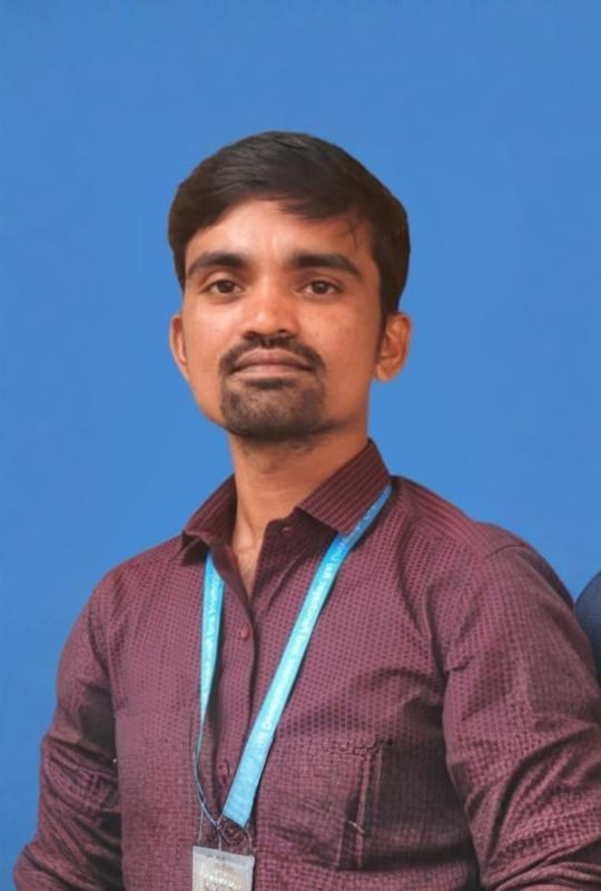
Karnataka State Rural Development & Panchayat Raj University, Gadag

Rural Roots, Global Heights

Shri. Thawar Chand Gehlot

Hon'ble Governor of Karnataka and
Chancellor, KSRDPR University, Gadag

Shri. Priyank Kharge

Hon'ble Minister of Rural Development and Panchayat Raj, IT & BT, GoK,
Pro-Chancellor, KSRDPR University, Gadag

Prof. Dr. Suresh V. Nadagoudar

Registrar & Vice-Chancellor(Acting),
KSRDPR University, Gadag

Shri. Prashantha J.C

Finance Officer(I/c),
KSRDPR University, Gadag

Shri. Thawar Chand Gehlot

Hon'ble Governor of Karnataka and Chancellor of University

Shri. Priyank Kharge

Hon'ble Minister of Rural Development and Panchayat Raj, IT & BT, GoK, Pro-Chancellor, KSRDPR University, Gadag

Prof.Dr. Suresh V. Nadagoudar

Registrar & Vice-Chancellor(Acting),
KSRDPR University, Gadag

Mr. Prashantha
J.C

Finance Officer(I/c),
KSRDPR University, Gadag

M.Sc. in Geoinformatics (Remote Sensing and GIS)

Geoinformatics integrates science and technology to manage and analyze spatial data using tools like GIS, GPS, and remote sensing. It transforms data from various sources into unified systems for applications in rural development, resource management, and environmental monitoring.
Comprehensive Integration

Geoinformatics combines science and technology, including remote sensing, GIS, GPS, and artificial intelligence, to acquire, process, and manage spatially referenced data from diverse sources.

Wide Applications

It is used in rural development, natural resource management, and environmental monitoring, enhancing decision-making through accurate and scientific analysis of spatial data.

Growing Career Opportunities

Both government and private sectors, including major GIS firms and telecom companies, are increasingly seeking skilled Geoinformatics professionals for roles such as GIS Coordinator, Data Manager, and Project Manager

About Programme:

Geoinformatics blends science and technology, including GIS, GPS, remote sensing, and AI, to manage and analyze spatial data. It uses various sensors to acquire data and integrates it into accurate information systems. This interdisciplinary field addresses real-world challenges in rural development, natural resource management, and environmental monitoring by combining technical expertise and socio-economic data.
Eligibility Criteria
Eligibility for the program includes any Science or Engineering graduate with at least 50% marks (45% for SC/ST/Cat. I/DA candidates) in optional subjects. Preference is given to those with a background in Mathematics, M.Sc. Geography graduates, or graduates with Geography as a major or optional subject. Additionally, 15% of seats in the M.Sc. Geoinformatics course are reserved for M.Sc. graduates in Geography, Geology, and Environmental Science.
Unique Features Of The Program :

Contact Details

Shri. SURESH LAMANI

Program Co-ordinator

Contact No:

7892251362

Master’s Degree Programs

Habitasse magnis dictum montes curae bibendum sed nunc

Bachelor’s Degree Programs

Habitasse magnis dictum montes curae bibendum sed nunc

Associate’s Degree Programs

Habitasse magnis dictum montes curae bibendum sed nunc